Water Due Diligence Report
500 W Mercer St, Dripping Springs, TX 78620
Hays County · generated 2026-09-04 · model tx-sitereport-0.1.0
Groundwater due diligence · Texas
Depth band, confidence, and risk, from Texas well records.
Depth of nearby wells
360–740 ft
Nearest well
955 ft
Wells within 1.9 mi
25
Confidence
Moderate
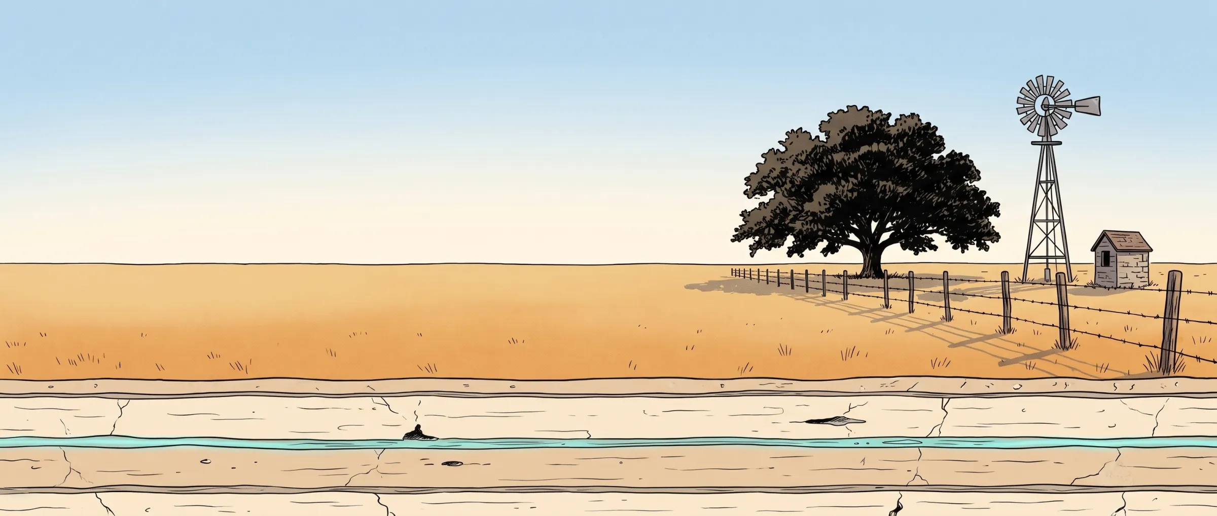
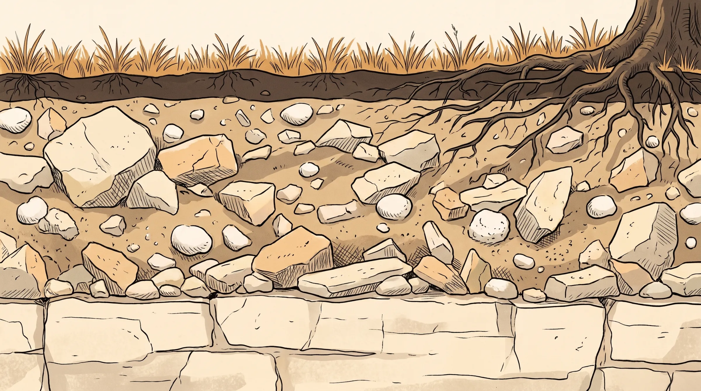
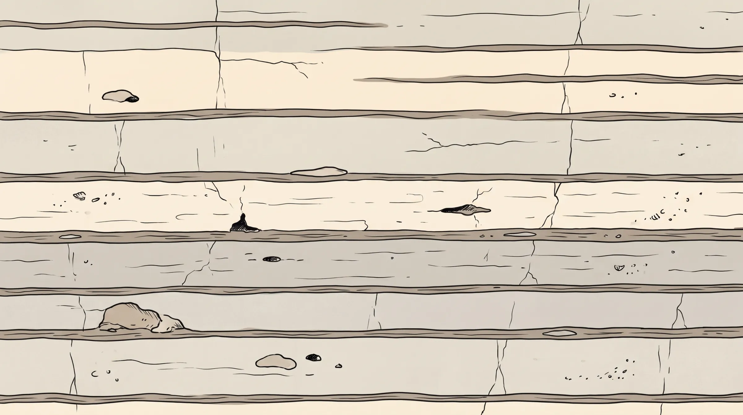
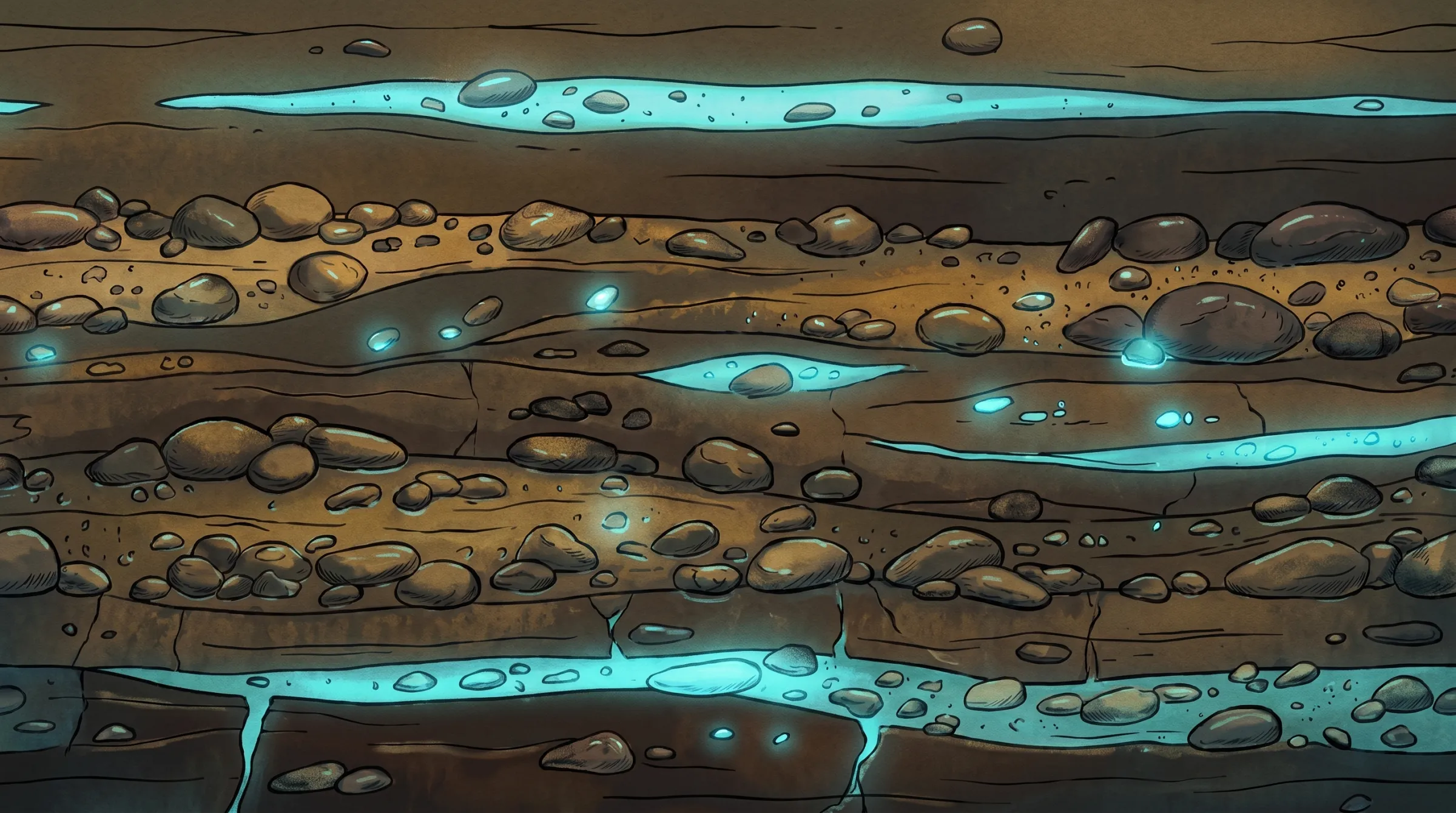
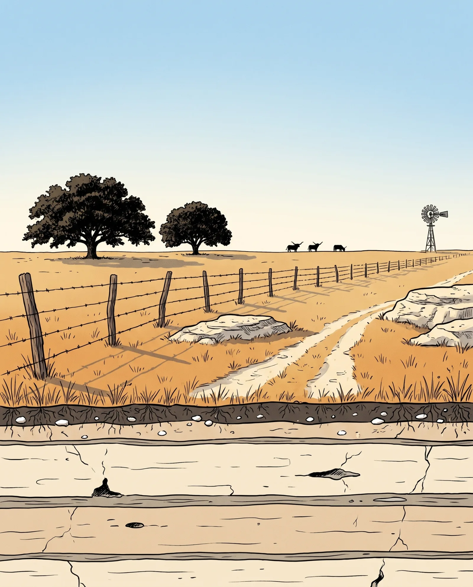
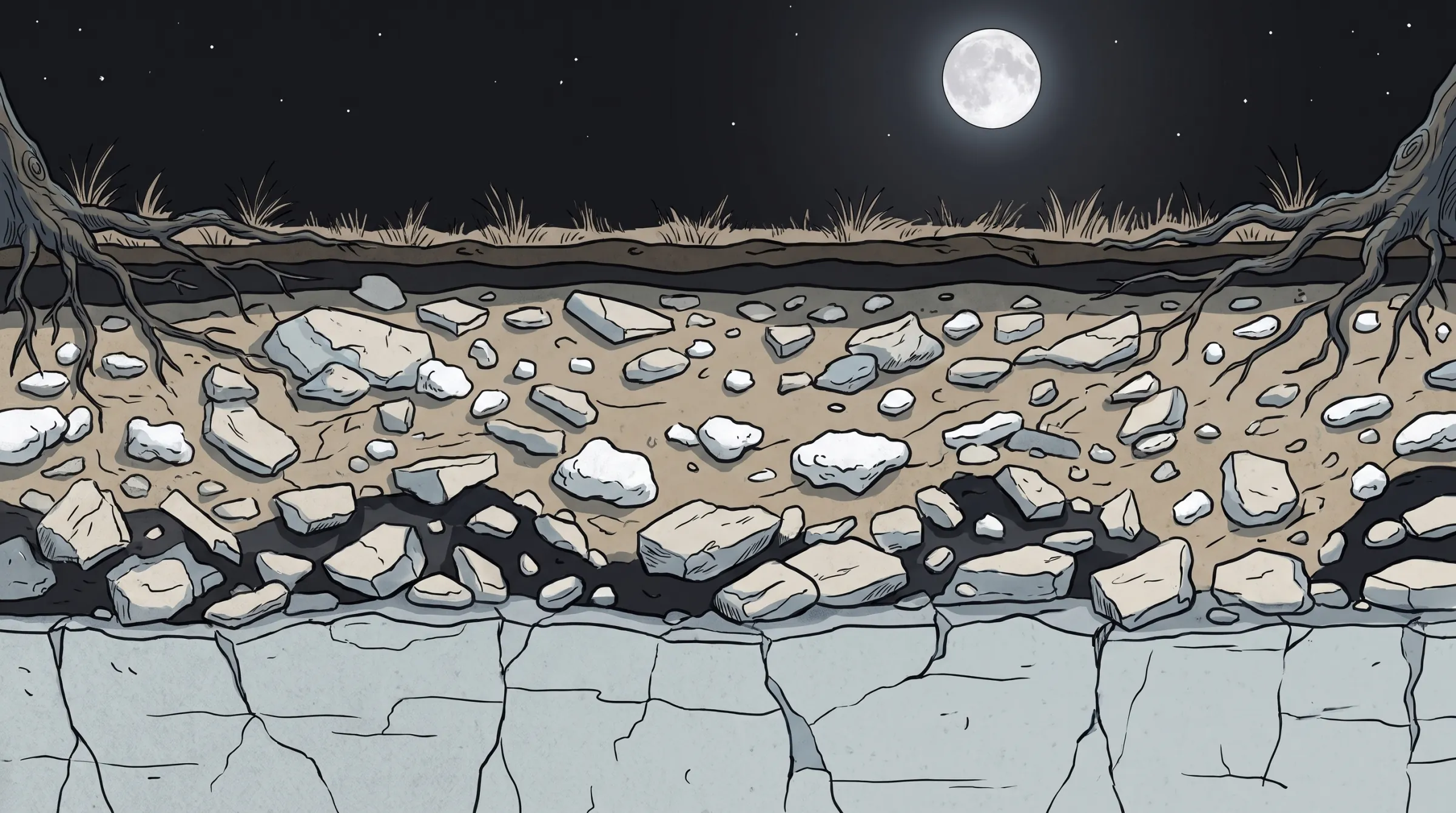
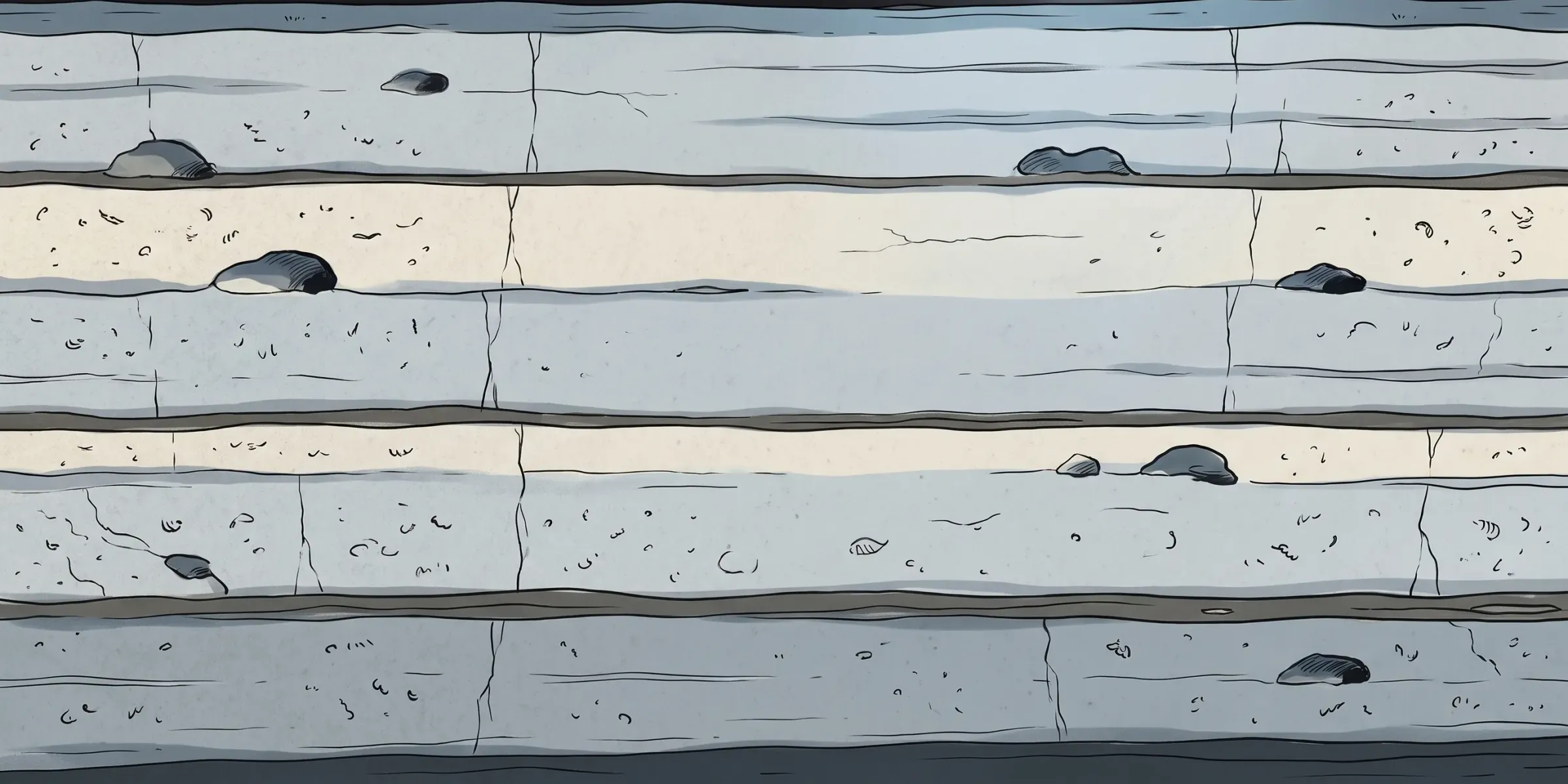
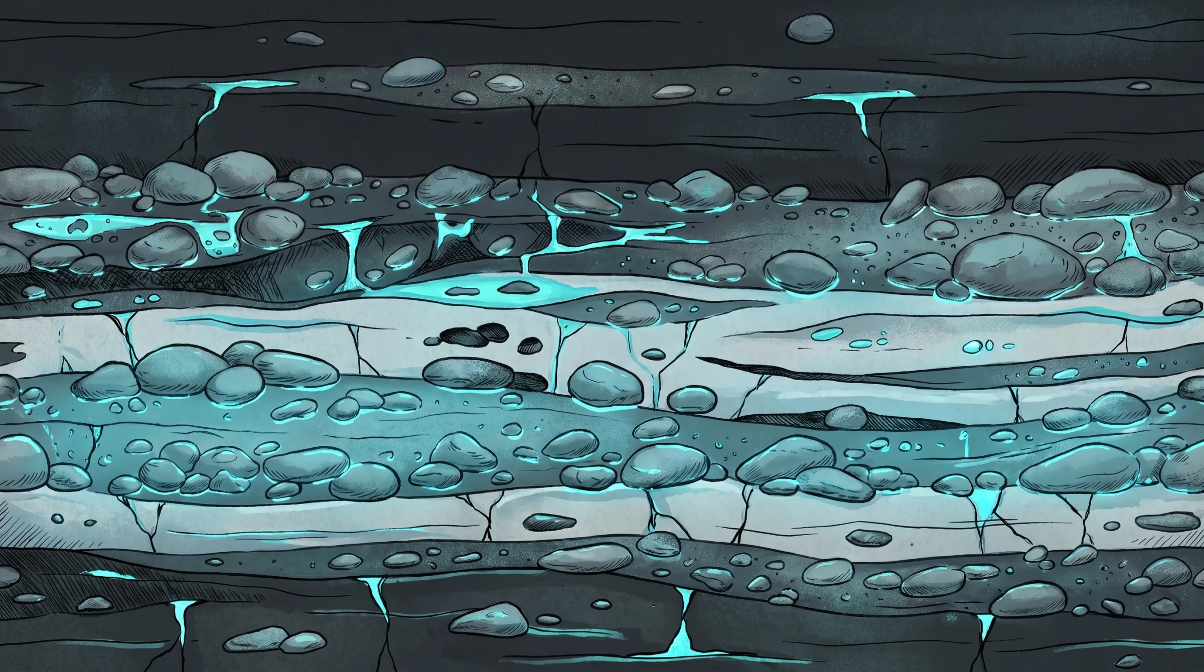
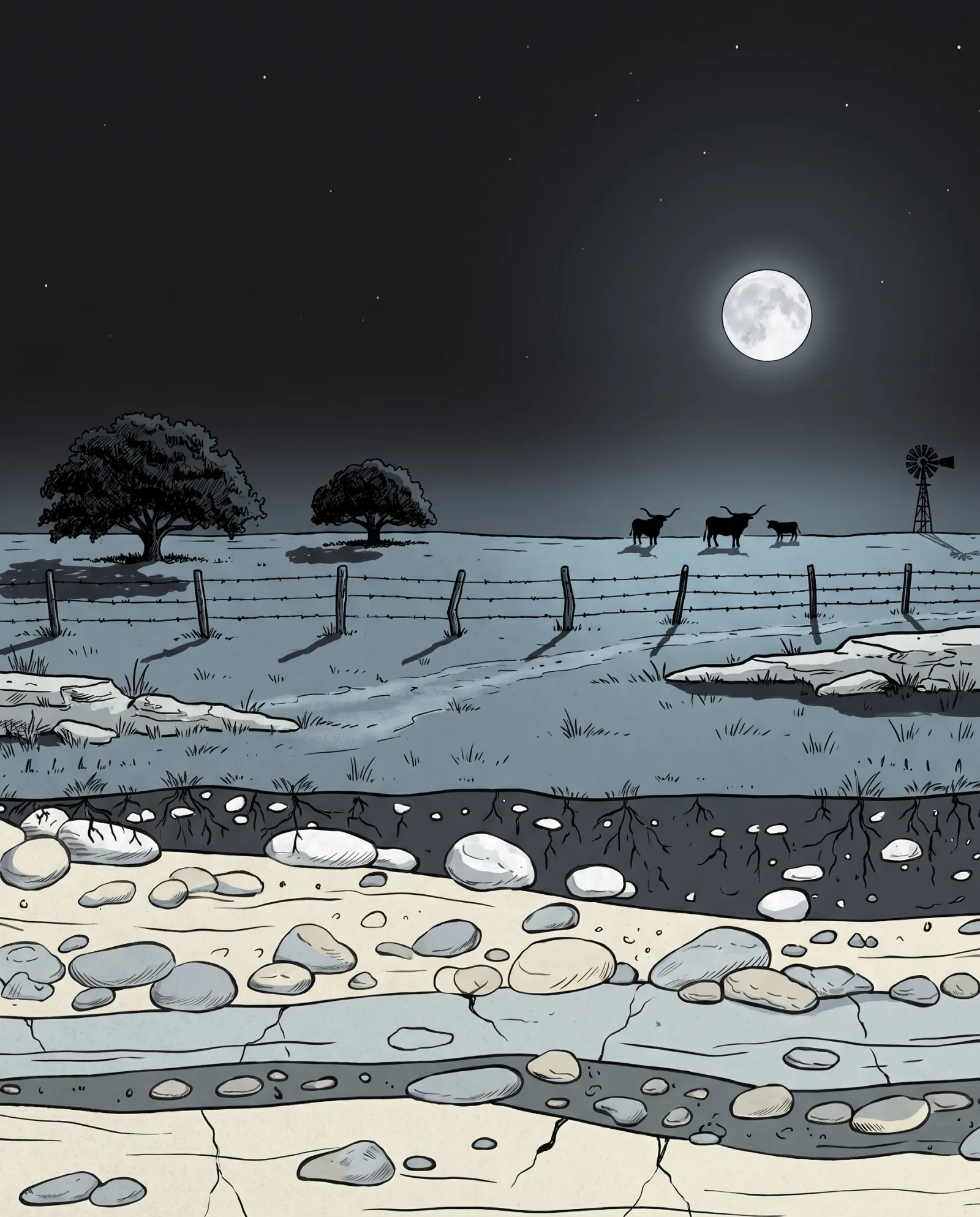
Below the surface, drawn from the record: 25 wells within two miles of the sample property, each to its reported depth, between 300 and 830 feet. Comparable wells put the water between 360 and 740 feet, median 485, inferred with moderate confidence. Example data for one property.
The reading
Depth band, confidence, comparables, risk, for this parcel.
Expected depth
Inferred360–740 ft
median 485 ft
Expected yield
Insufficient evidenceNot estimated
no pump tests on record within 1.9 mi
Confidence
capped until the Texas model is validated
Comparable wells
Verified25on record
nearest 955 ft away, 740 ft, 2009
Aquifer
InferredGlen Rose Limestone, Lower Member
from the wells around it, not a survey
Risk flags
Insufficient evidenceGroundwater district not checked
boundaries not loaded; ask the county
The document
A PDF your lender, driller, or title company can read.
500 W Mercer St, Dripping Springs, TX 78620
Hays County · generated 2026-09-04 · model tx-sitereport-0.1.0
Expect a well around 485 ft. No high-severity risks were raised. Confidence is moderate.
Comparable wells suggest a completion depth around 485 ft, most likely between 360 and 740 ft.
360–740 ft
50 records in the evidence ledger
What lands
Everything the analysis produced, on screen and in a file you can send.
01
85 claims across 13 sections, each marked verified, inferred, not found, or a question for the seller.
02
25 comparable wells, ranked by similarity, with distance, depth, date, aquifer and use.
03
50 entries, each traceable to the public record it came from.
04
One file for the lender, the agent or the driller, with the disclaimer printed on it.
Who reads it
Before the option period ends
Check a listing free; buy the report on the one under contract.
Before the bid
Neighbors' depths and yields on record, so you price the hole.
Before the client deliverable
A client deliverable where every line names its source.
Status language
The records and the open questions, gathered. Not a form filler.
A public record says so.
The model, with its range.
No record in the sources.
Only the seller can answer.
A title matter.
Too thin to say.
Price
The report is priced on the page. Plans work out cheaper across several.
One-time
Wells, depth band, aquifer · Seller and title questions · PDF for the lender
$99once
Everything in Due Diligence · Candidate drilling zones · Depth range before bidding
$199once
Monthly
15 credits a month · $9 a credit after · Saved properties, share links
$149/mo
50 credits, 5 seats · $6 a credit after · Your name, every report
$299/mo
Read from
Sources
No agency endorses or reviews Beneath. Sample retrieved 2026-09-04.
Limits
Your turn